Đường Mây site belongs to Vang hamlet, Cổ Loa commune. The site is located between Đầm Cả (west) and Hòang Giang river (east), 1.5km southeast of Đình Tràng site, about l km north of Bãi Mèn, Đồng Vông and Tiên Hội 2. 5km to the northeast. On the other side of Đầm Cả (north) is Xuân Kiều relic, as well as Đường Mây, covered by the External rampart.
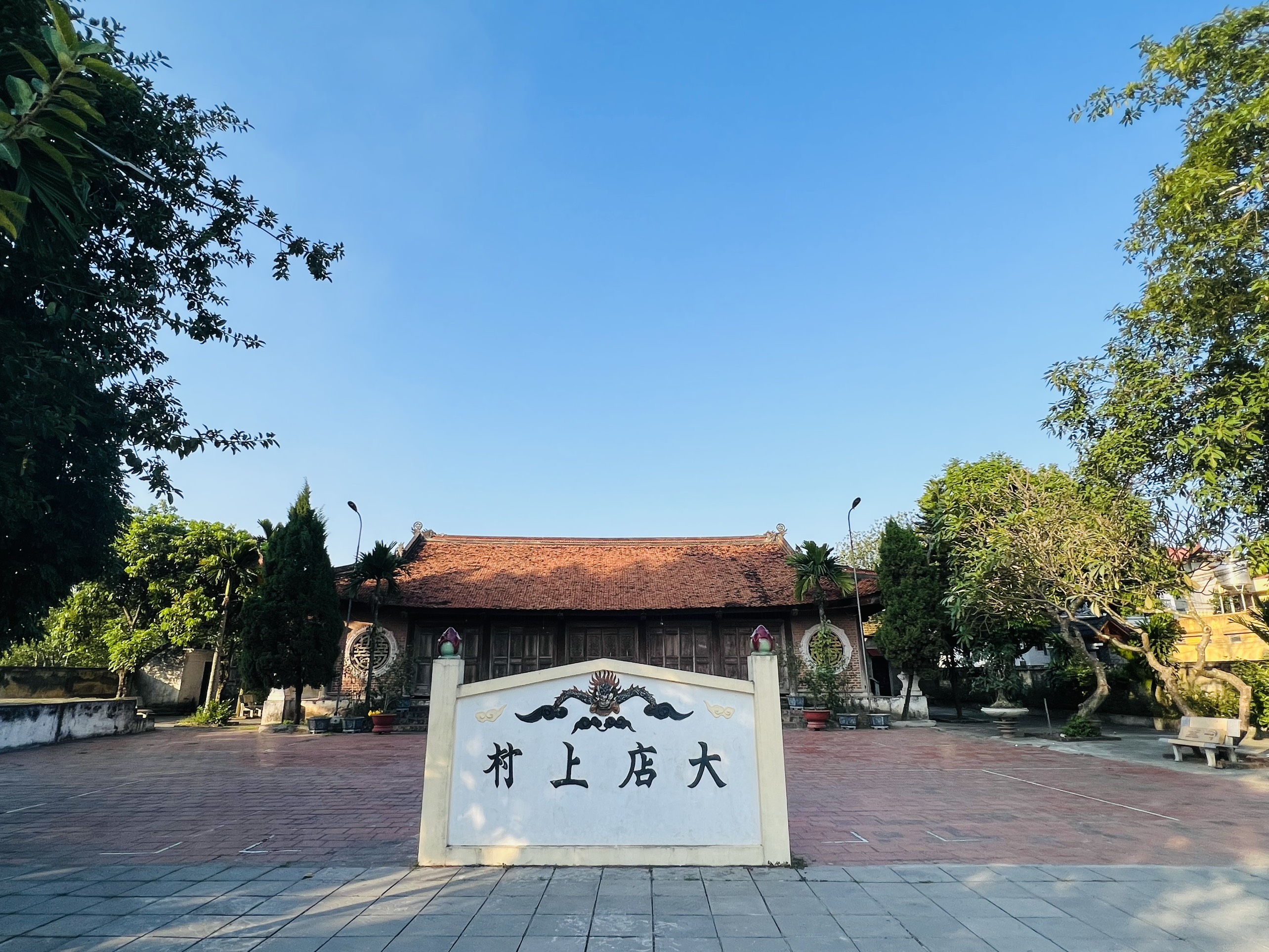
Location of the archaeological site of Đường Mây
The site was discovered in 1967, when the people of Cổ Loa and Dục Tú communes dug a ditch that cut across the section of External rampart at the end of Vang hamlet, revealing a layer of soil containing many ceramic fragments lying under the soil that covered the citadel. After that, the History Department of Hanoi General University surveyed and concluded that there is an archaeological site at the foot of the External rampart of Trại Xóm Vang - the site of Đường Mây.
The University of Hanoi has excavated the Đường Mây site 4 times with a total area of 364m2. The first time (2 - 1969) with an area of 45m2 (9m x 5m). Second time (February 1970) with an area of 96m2 (12m x 8m). The third time (l-1971) with an area of 203m2, divided into 2 holes: hole A: l04m2 (13m x 8m), hole B: 99m2 (11m x 9m). Fourth time (3-1983) with an area of 20m2.
During the first excavation, a brick tomb was excavated in the External rampart of Trại Xóm Vang, about 26m from the road from Sa market to Cổ Loa relic and dug two pits next to the grave. This is a tomb of the 2-3 century AD. The stratigraphy of the exploration pit is as follows: at the base of the 60cm grave is a layer of Cổ Loa pottery, followed by 2.30m thick layer of building soil, at the bottom is the cultural layer of Đường Mây 40cm-50cm thick. Thus, the site of Đường Mây was covered by the External rampart, in turn, the External rampart was buried on top of the brick tombs. The exploration and excavation pits have the same stratigraphy, including: 3 layers as follows:
- The top layer is light brown, crumbly arable soil with an average thickness of 40cm, containing a lot of Cổ Loa pottery. This is the layer of soil that fills the External rampart left after it has been leveled to get farming land.
- The middle layer is the cultural layer, the soil is dark gray, unevenly distributed, the average thickness is about 30cm. Basically, the culture layer is not disturbed.
- The bottom is a dark yellow or brownish clay layer, sometimes with a deep black hole. Artifacts in the black hole are no different from those in the cultural layer.
Relics in the cultural layer include: the remains of several kitchens. These are terracotta rocks (“ông đầu rau”), surrounded by many ash coals and blackened pottery pieces.
Relics after 4 times of excavation at Đường Mây site include:
- Stoneware: 29 artifacts (axes, bats, stamping tables, grinding tables, jewelry pieces, sketches of stone objects...), accounting for 27.l %.
- Brass: 58 artifacts (chisel, knife, tweezers, hook, spear, javelin, arrow, breastplate, jewelry ring, ring), accounting for 54.2%.
- Ironware has 1l of artifacts (hoes, knives, apricots, arrows, unidentified artifacts), accounting for 0.28% (not including 60 pieces of rusty iron and many iron chips).
- Raw ceramics: 9 artifacts, accounting for 8.41% and 5,064 fragments of all kinds.
In addition, in the second and third excavation pits, l pieces of lead and 8 pieces of lead wire, l animal teeth and 26 pieces of animal teeth were discovered.
With 364m2 of excavation and investigation, it shows that Đường Mây is a residential site with a cultural layer. The type of stone, bronze, iron and ceramic artifacts of Đường Mây site is close to the site of Duong Co (Ha Tay), Chua Thong (Thanh Tri)... belonging to the late Dong Son culture period. dating from about 2,200-2,500 years ago.